GR131 Fuerteventura
Located off the coast of Northwest Africa in the Atlantic, the volcanic Canary Islands are in fact a Spanish archipelago consisting of seven islands (Tenerife, Gran Canaria, Fuerteventura, La Palma, Lanzarote, El Hierro, La Gomera). Each of these exotic islands has its own distinctive character.
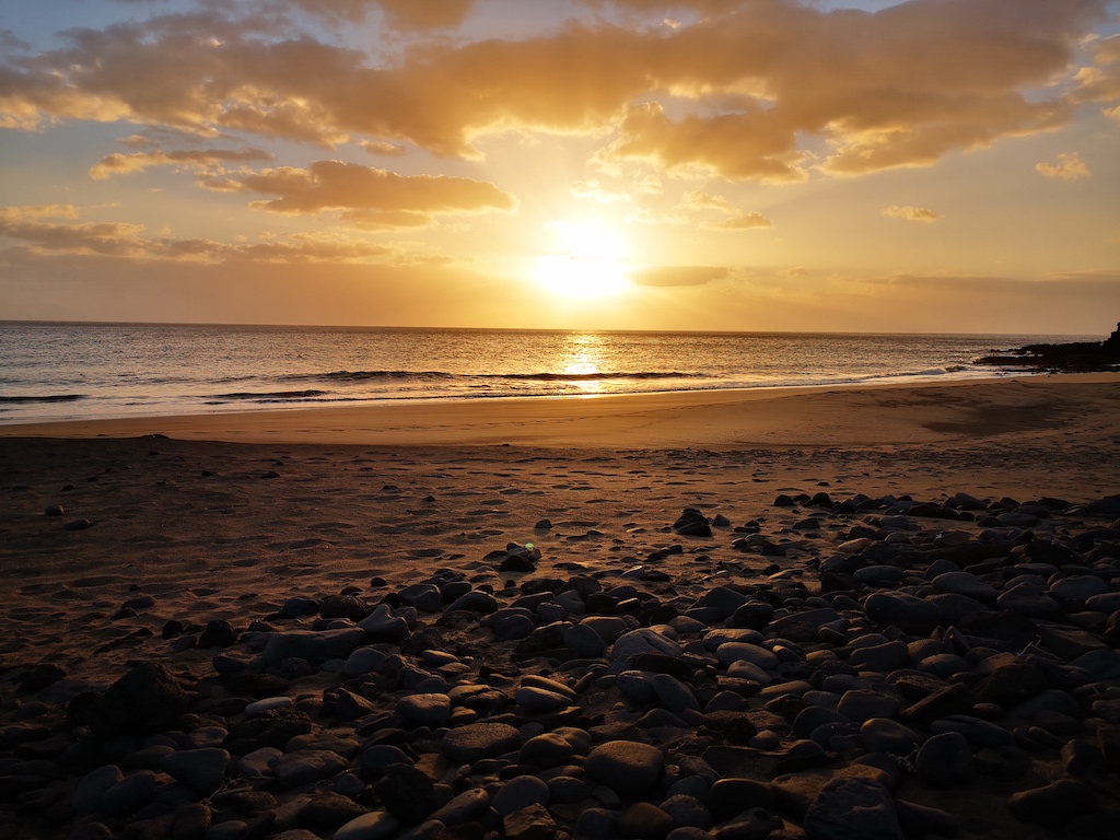
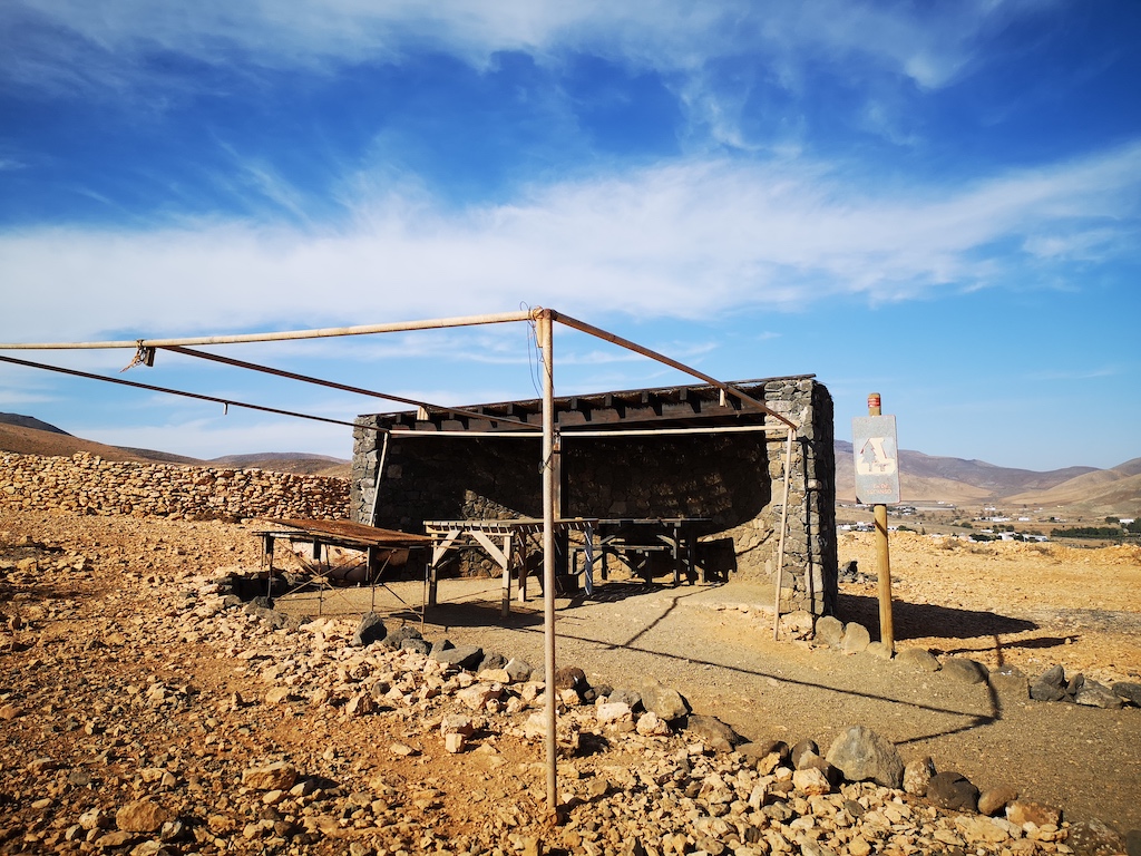
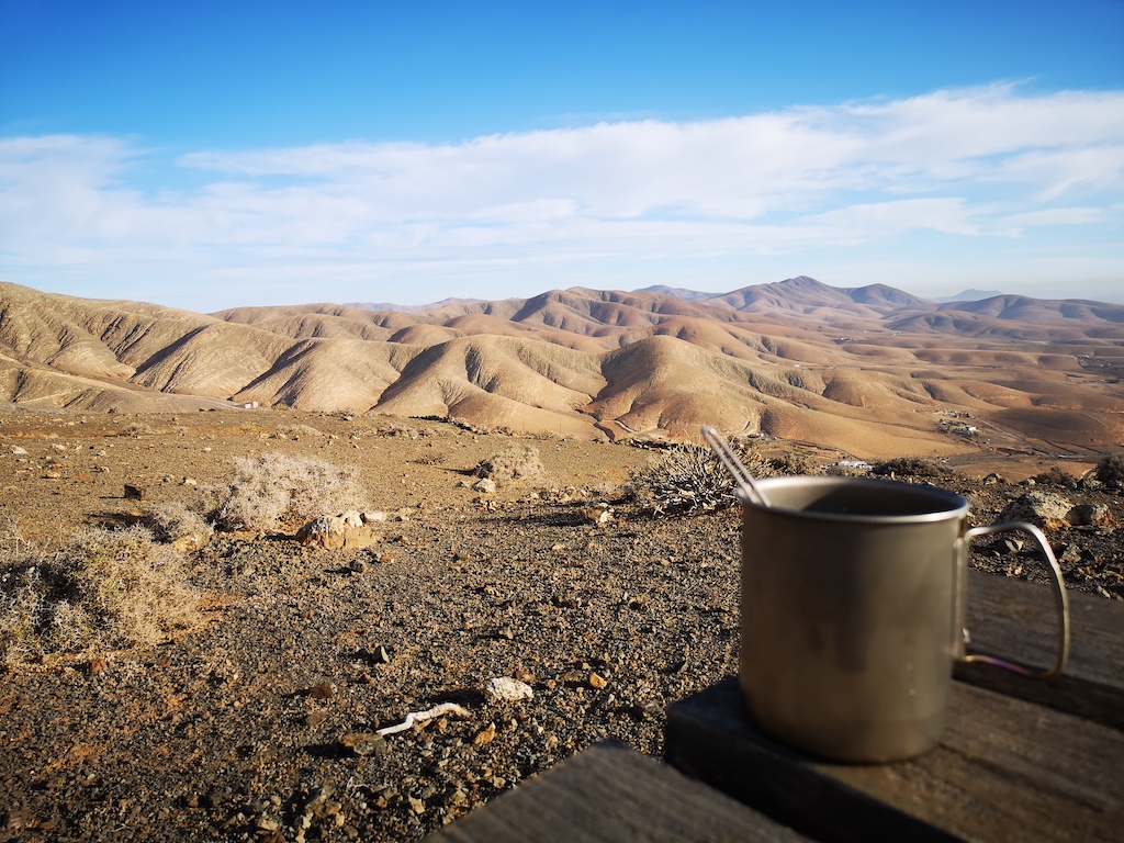
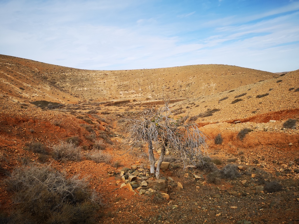
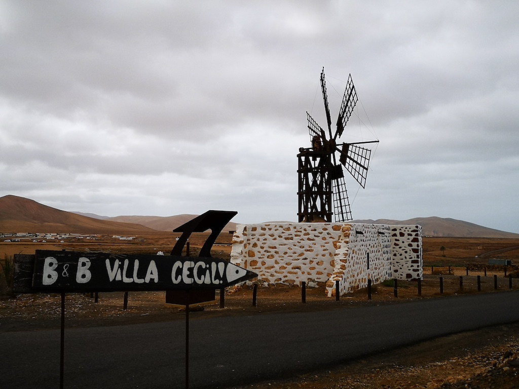
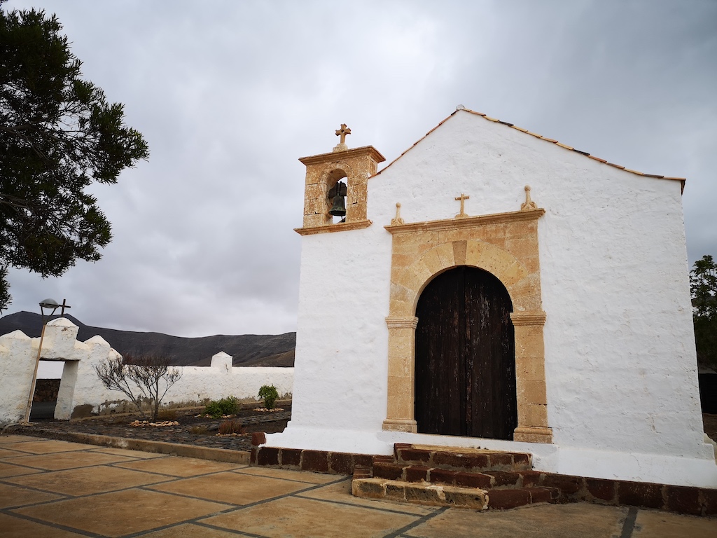
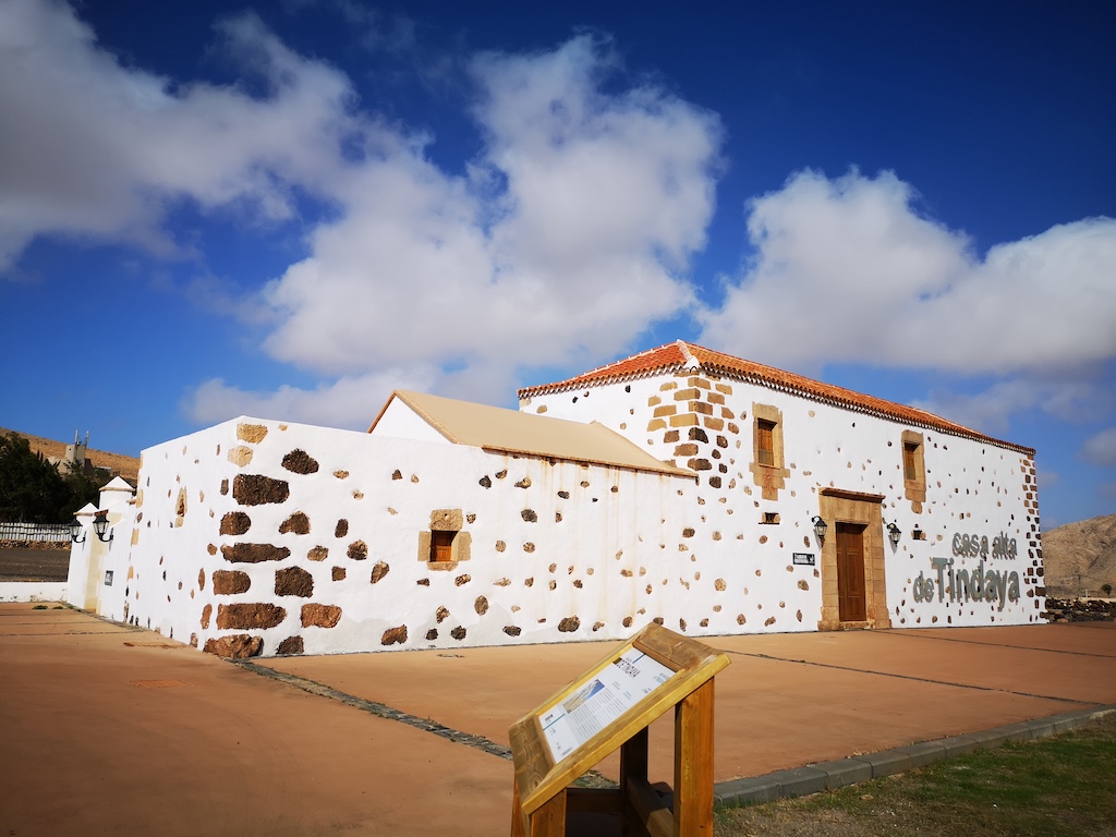
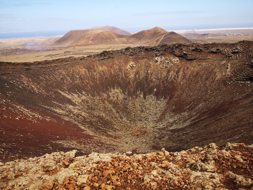
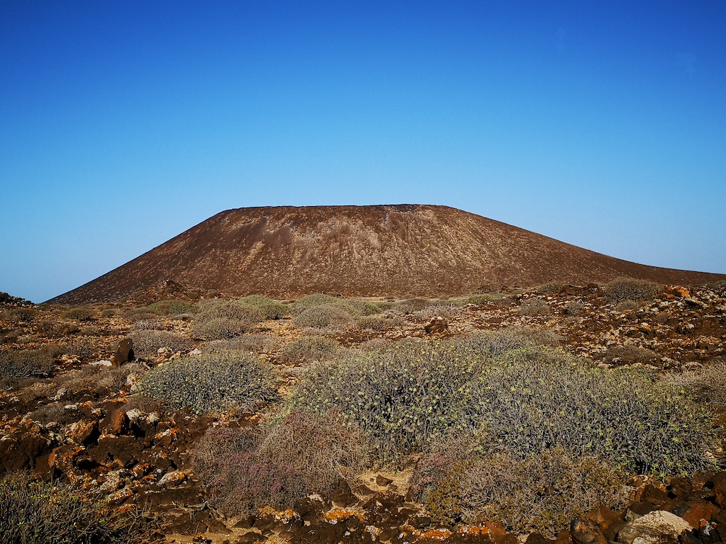
Fuerteventura is the second largest island in the Canary archipelago, and the whole island was named a Biosphere Reserve by UNESCO on May 26, 2009. The landscape is dominated by the characteristic geomorphological features of the island, and wide beaches are its biggest tourist attraction.
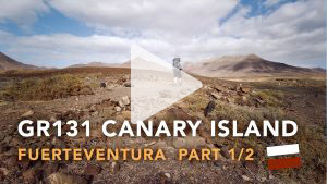
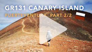
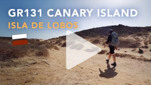
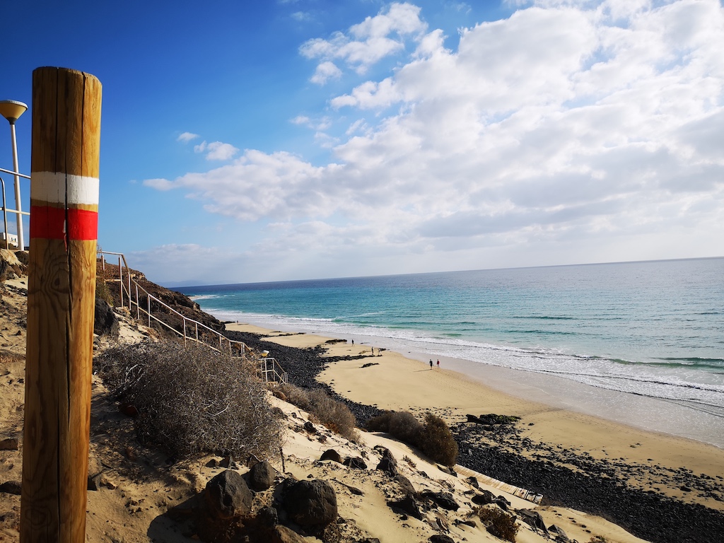
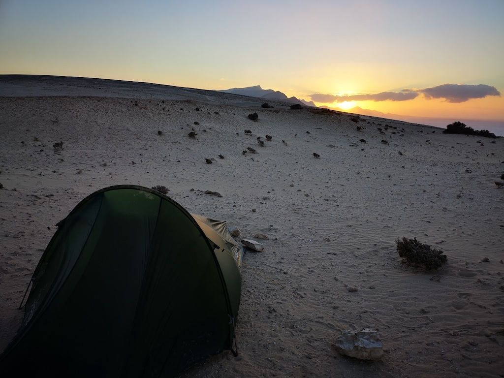
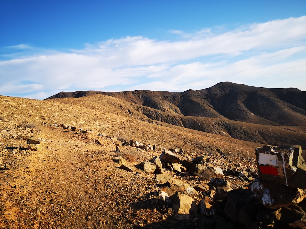
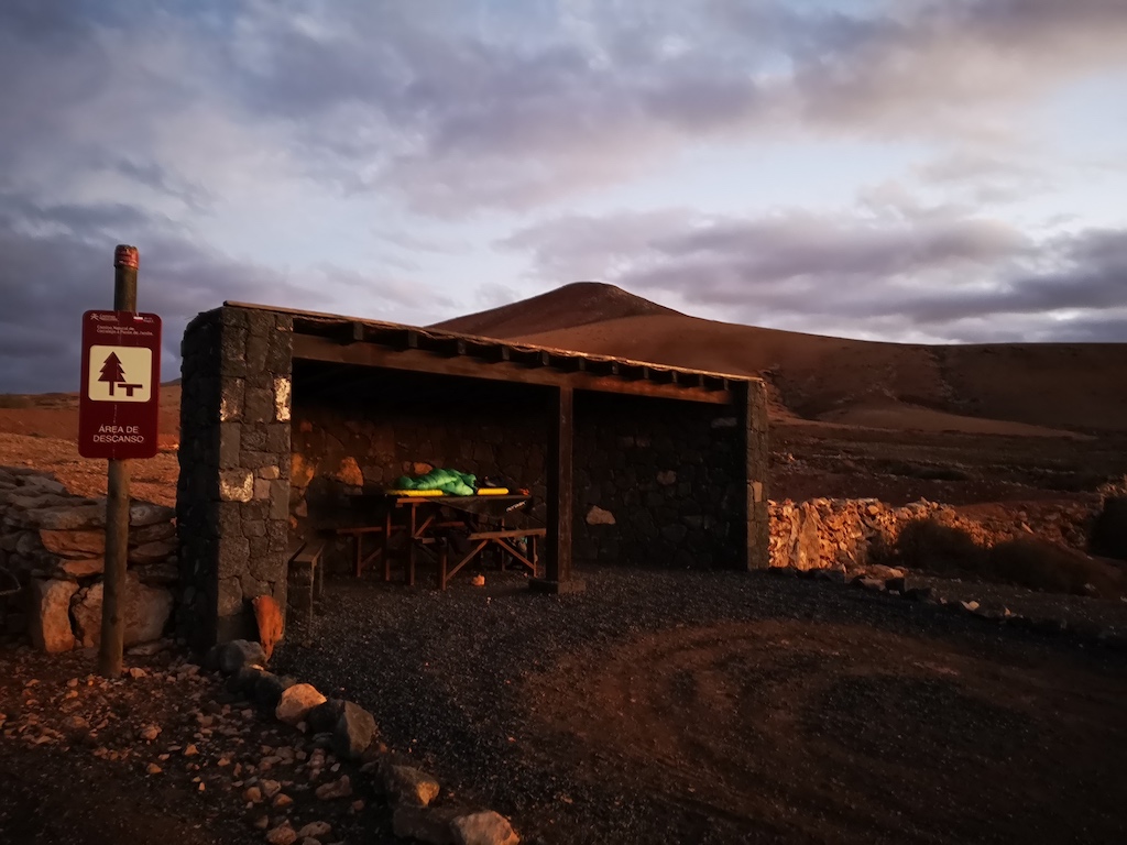
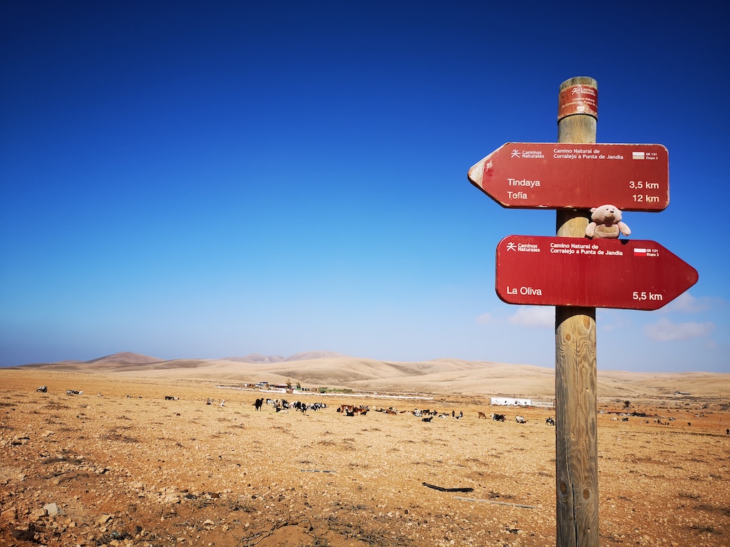
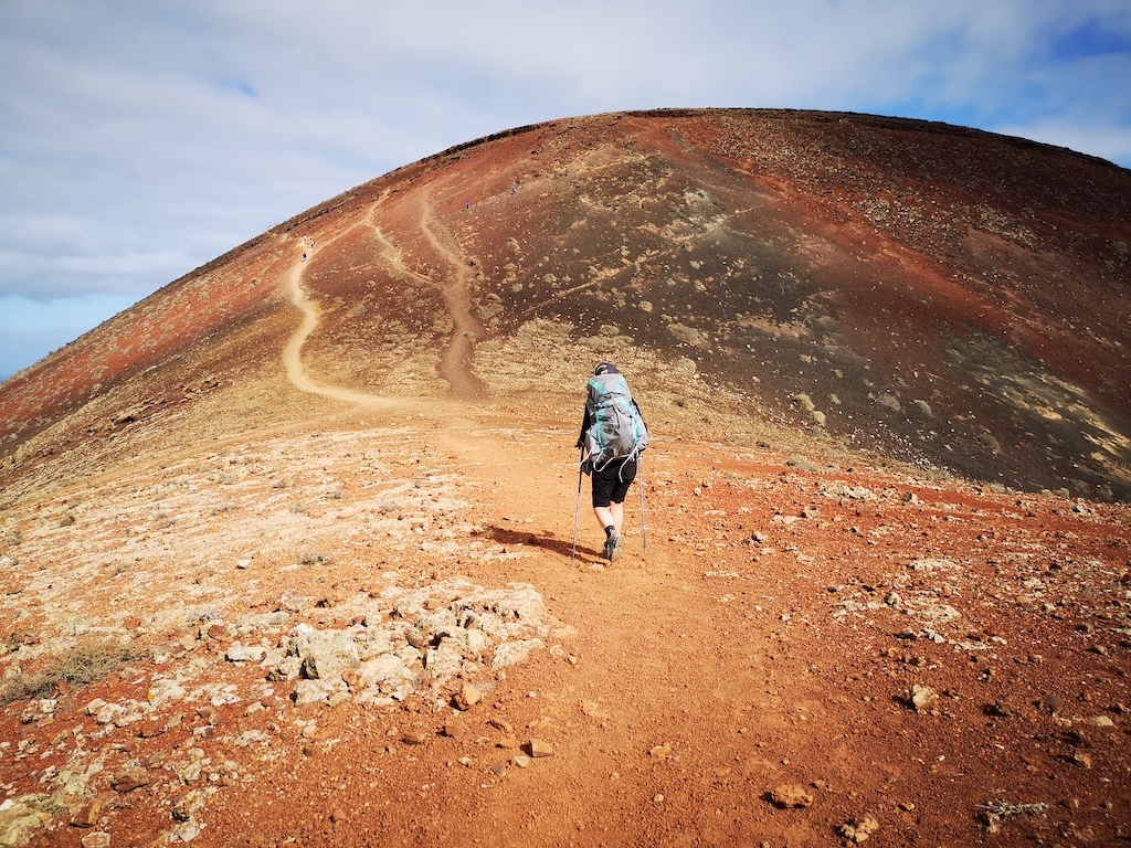
I walked the GR131 from south to north, means from Punda de Jandia to Corralejo and Isla de Lobos. You can watch the videos on my channel and/or have some impression here. The way is well marked with Camino Natural from the Spanish Minister de Agricultura. The GPS file you can also download here
Die vulkanischen Kanarischen Inseln liegen vor der Küste Nordwestafrikas im Atlantik und sind eigentlich ein spanischer Archipel, der aus sieben Inseln besteht (Teneriffa, Gran Canaria, Fuerteventura, La Palma, Lanzarote, El Hierro, La Gomera). Jede dieser exotischen Inseln hat ihren eigenen unverwechselbaren Charakter.
Fuerteventura ist die zweitgrößte Insel des kanarischen Archipels und die gesamte Insel wurde am 26. Mai 2009 von der UNESCO zum Biosphärenreservat ernannt. Die Landschaft ist geprägt von den charakteristischen geomorphologischen Merkmalen der Insel, und weite Strände sind ihre größten Touristenattraktionen.
Ich bin den GR131 von Süden nach Norden gelaufen, also von Punda de Jandia nach Corralejo und Isla de Lobos. Schau die Videos auf meinem Kanal und/oder um dir einen Eindruck verschaffen. Der Weg ist gut markiert mit Camino Natural vom spanischen Ministerio de Agricultura. Das GPS file findet ihr hier